
HorizonsUAS LLC – A Limited Liability Company. Licensed - FAA 14 CFR, Part 107 - Remote Pilot ‒ Unmanned Aircraft Systems Airman Certification, Insured.
Veteran Owned & Operated.
↓


HorizonsUAS LLC – Elevating Your Vision from Above. HorizonsUAS LLC deploys cutting-edge Unmanned Aerial Systems (UAS) equipped with advanced payloads to deliver exceptional results across a wide range of missions. Our drone fleet integrates high-resolution multiplex cameras, 12MP and 40MP still imaging, 4K video and Thermal sensors — all tailored to your specific project requirements.
What We Deliver
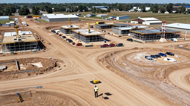
Commercial Surveys & Inspections — Precision aerial imaging for construction, infrastructure, agriculture, real estate, and industrial applications.
Content Production — Cinematic 4K video and high-resolution photography for marketing, documentaries, and creative projects.
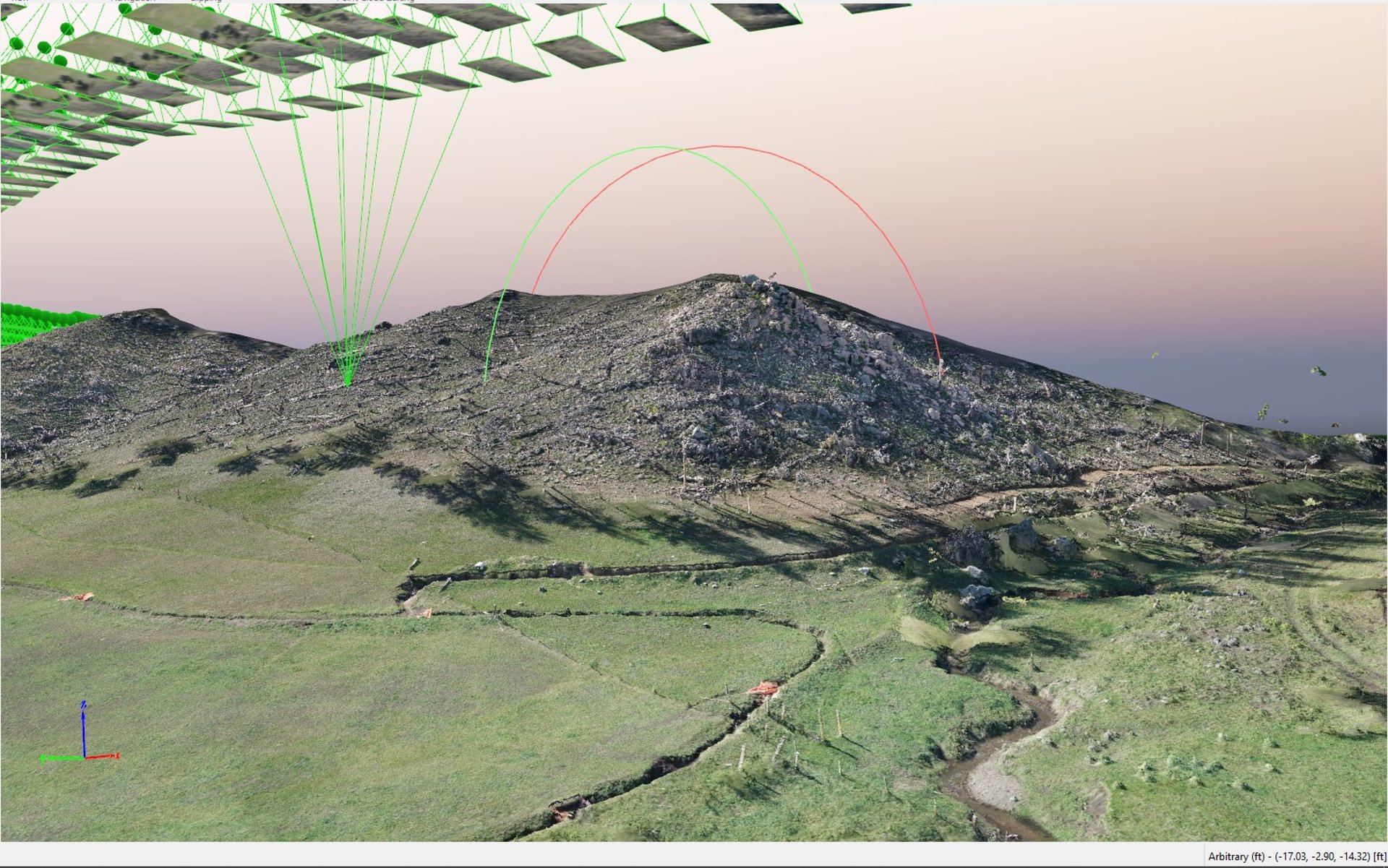
We combine expert drone operations with our in-house CAD drafting, GIS cartography, and 3D modeling design studio. This integrated approach transforms raw aerial data into actionable insights, detailed maps, 3D models, and compelling visual content — taking your project from ordinary to extraordinary. Premium Deliverables available using AutoDesk ReCAP Pro, Trimble Sketch Up and Blender.
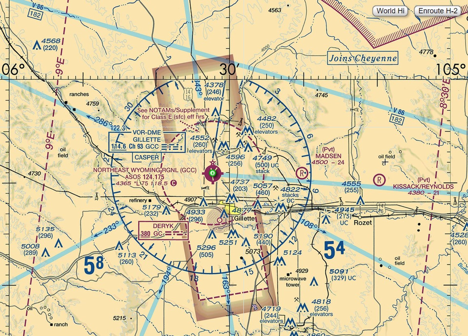


Industries We Serve
Eye in the Sky. Edge on the Ground
Core Use Cases for UAS in Construction
Site Surveying & Topographic Mapping
Progress Monitoring & Documentation
Weekly flights create allow for real-time tracking vs. blueprints.
Safety Inspections & Hazard Detection
Structural & Asset Inspections
Post-Construction & Emergency Response
Damage assessment
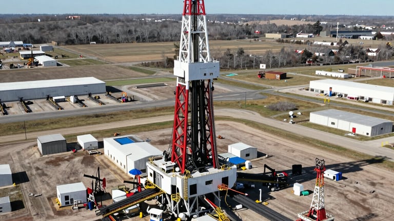
Core Use Cases for UAS in Oil & Gas
Pipeline Inspection & Monitoring
Flare Stack & Elevated Asset Inspection
Offshore Platforms & Rigs
Storage Tanks & Facility Inspections
Exploration & Surveying
Commercial & Residential Real Estate Inspection
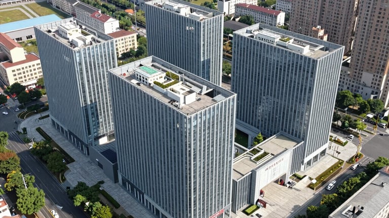
Commercial use:
Site planning and progress tracking
Roof, facade, and parking-lot inspections
Large-property mapping and boundary context
Construction monitoring and documentation
Investor or tenant marketing visuals
Residential use:
Listing photos and video
Roof and exterior condition checks
Lot and neighborhood context
Pre-sale property presentation
Damage assessment after storms
Why it’s useful:
Faster than many manual inspections
Safer for hard-to-reach areas
More visually persuasive for buyers
Can support measurements and mapping when paired with software



Why UAS/Drone Inspections? Key Benefits
Safety First — Eliminate ladder climbs and roof walks
Speed & Efficiency — Inspect in minutes vs. hours/days
Cost Savings — Reduce Loss Adjustment Expenses (LAE) by ~20-30%
Superior Accuracy — High-res imagery, thermal/zoom options detect hidden damage
Better Customer Experience — Faster settlements, less intrusion, transparent visual reports.


Search and Rescue
UAV's in search and rescue can help teams find people faster, cover dangerous terrain, and assess situations without putting rescuers at immediate risk.
Common uses:
Locating missing people in forests, mountains, or disaster zones
Thermal scanning at night or in low visibility
Checking collapsed buildings or flooded areas
Mapping disaster scenes for planning
Delivering small emergency supplies
Why they help:
Faster area coverage
Better access to unsafe locations
Real-time aerial views
Thermal and zoom cameras improve detection
Utility and Infrastructure Applications
Why utilities use them:
Reduces risk for workers
Reaches hard-to-access areas
Speeds up inspections
Produces photo, thermal, and video records
Helps spot defects early
Typical payloads:
High-resolution cameras
Thermal imaging
LiDAR for mapping and clearance analysis
Zoom cameras for close-up defect review
Best for:
Routine asset checks
Emergency response after outages
Large-area corridor surveys
Preventive maintenance programs
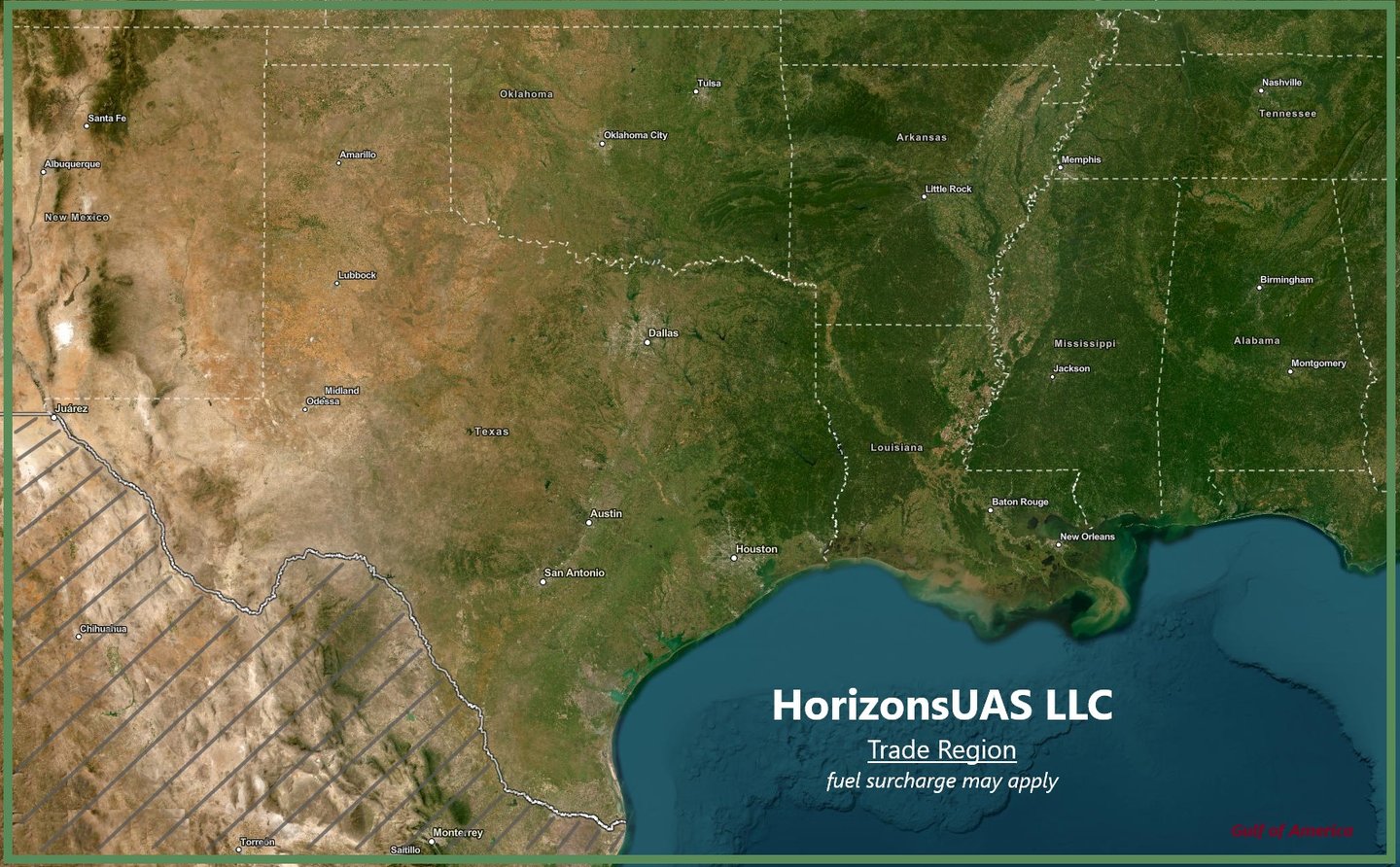


Background, License, Certification...



Trusted Professionals
Our pilots are FEMA Red Card Certified for disaster response. We maintain active Press Credentials for media interface and hold background checks for sensitive sites and proprietary projects. All operations are conducted under strict NDA compliance. When precision, safety, and creativity matter — HorizonsUAS delivers. Ready to launch your next project?
Contact us today to discuss how we can support your mission.

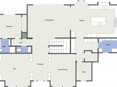
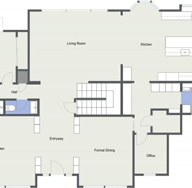

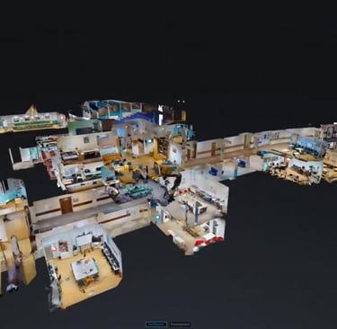
Digitize spaces and objects. Measure and analyze. Scan residential or commercial space in stunning 3D. Generate accurate 2D floor plans. We can import 2D or 3D scan into CAD Modelling for modification.



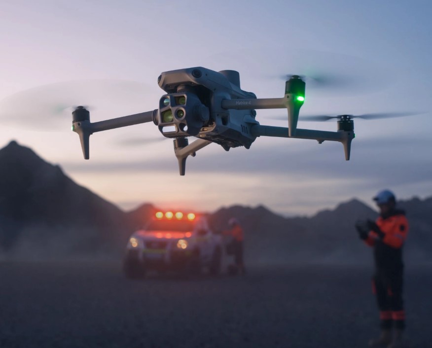
Unmanned Aerial Systems
"The DJI Matrice 4T is a workhorse of an enterprise drone, with a flexible tri-camera system that includes a detailed thermal view and suite of advanced features."
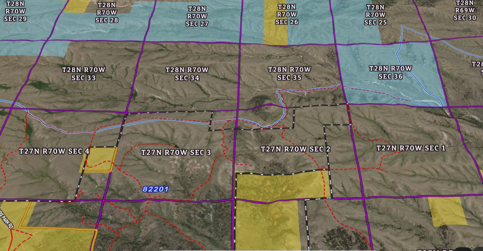

GIS Mapping
Interactive. digital mapping
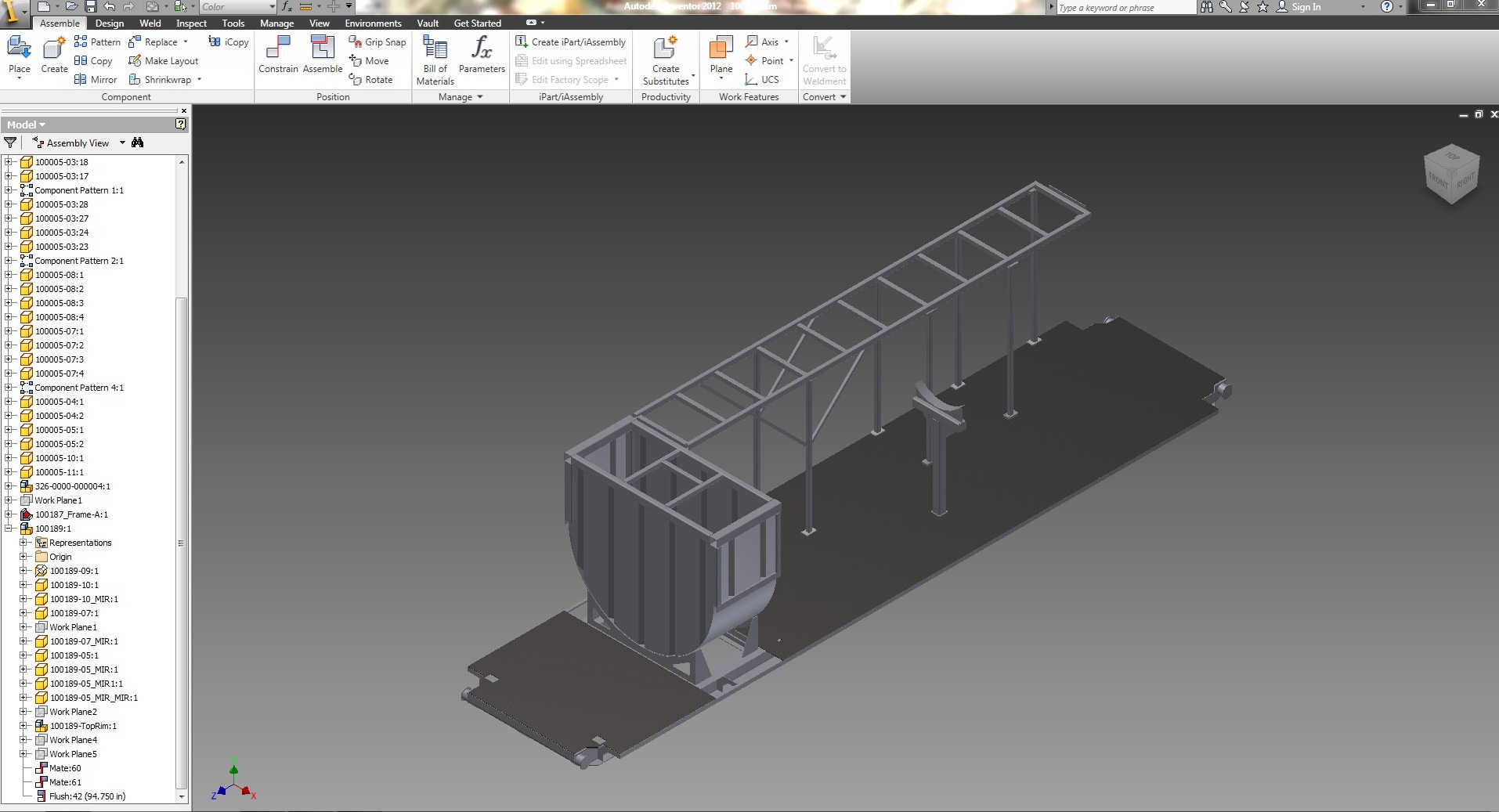

3D Modelling & Printing
Creative Direction/Design


Ortho/CAD Overlays
Licensed - Autodesk, Trimble, Microsoft Office Applications
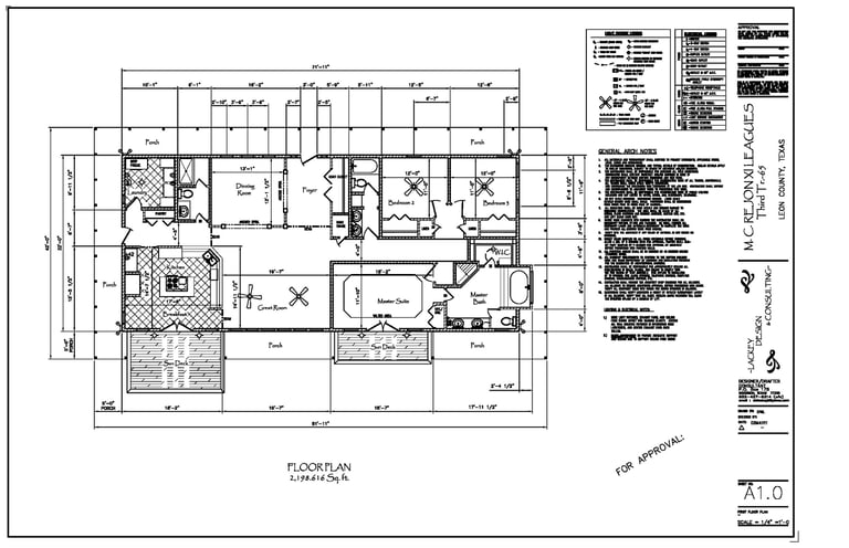
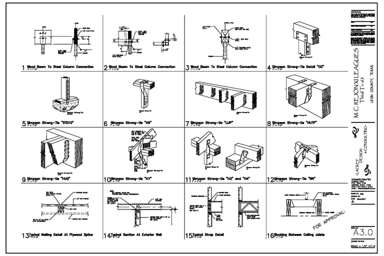
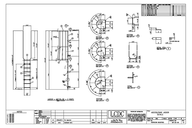


CAD Drafting, 3D Modelling & GIS Mapping Services. Per Project. Detailed Scope Pricing
Let’s work together

HorizonsUAS@protonmail.com
For immediate response, email us at:
HorizonsUAS LLC
Phone: (281)-825-8614